 -The 27th UC-win/Road Conference-
― Societal Implementation of Satellite and GNSS for Disaster Management ―
As the social implementation of space satellite technology and GNSS accelerates, this conference will feature a special lecture from the Cabinet Office and MLIT, practical applications of GNSS and digital twins for urban disaster prevention, and an introduction to the potential applications of "spaceF8" in space development. This is the first time we are holding a conference that delves into the forefront of strengthening national resilience through space infrastructure.
President and CEO ITO Yuji

Counselor, National Space Policy Secretariat, Cabinet Office
Mr. YOSHIDA Kuninobu
Assigned to the River Environment Division of the Water and Disaster Management Bureau, MLIT, working also as a river environment assessment analyst. The concurrent assignment at the secretariat involves promoting the use of remote sensing data from government and private satellites by related ministries and agencies.
In response to the increasing severity and frequency of disasters, aging infrastructure, and population decline, the government is promoting the utilization of "satellite remote sensing" technology under its "Basic Plan for Space Development" and "Space Technology Strategy," supported by an annual space-related budget exceeding 1 trillion yen and a space strategy fund. This presentation will introduce the latest developments on how government and private satellites are being used to address social challenges such as disaster response (e.g., the Noto Peninsula earthquake and heavy rainfall, the Kumamoto earthquakes) and aging infrastructure, and explore potential future applications. It will also report on the current status of the national space infrastructure strategy and its prospects for societal implementation.
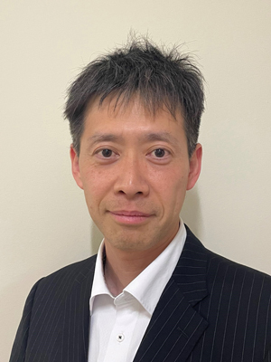
Director of Construction Automation, Counselor (Innovation) Group, Engineering Affairs Division, Minister's Secretariat, the Ministry of Land, Infrastructure, Transport and Tourism
Mr. KIKUTA Kazuyuki
Joined the MLIT in 2006. Held positions including Assistant Chief of the Engineering Affairs Division, Minister's Secretariat; Planning Specialist at the Planning and Coordination Division for Public Works, Policy Bureau; and Director of the Inagawa River Office, Kinki Regional Development Bureau. Currently holding the position since April 2025.
In order to lead the world in lunar base construction for space utilization and exploration, remote or automated construction technologies (such as unmanned construction) are essential elements. The Ministry of Land, Infrastructure, Transport and Tourism (MLIT) is promoting automated and remote construction techniques to enhance disaster response in the face of increasing severe disasters, and to improve productivity in a declining population environment. This presentation will introduce technological developments for applying these construction technologies to lunar base construction, as well as efforts to expand these technologies to terrestrial projects.
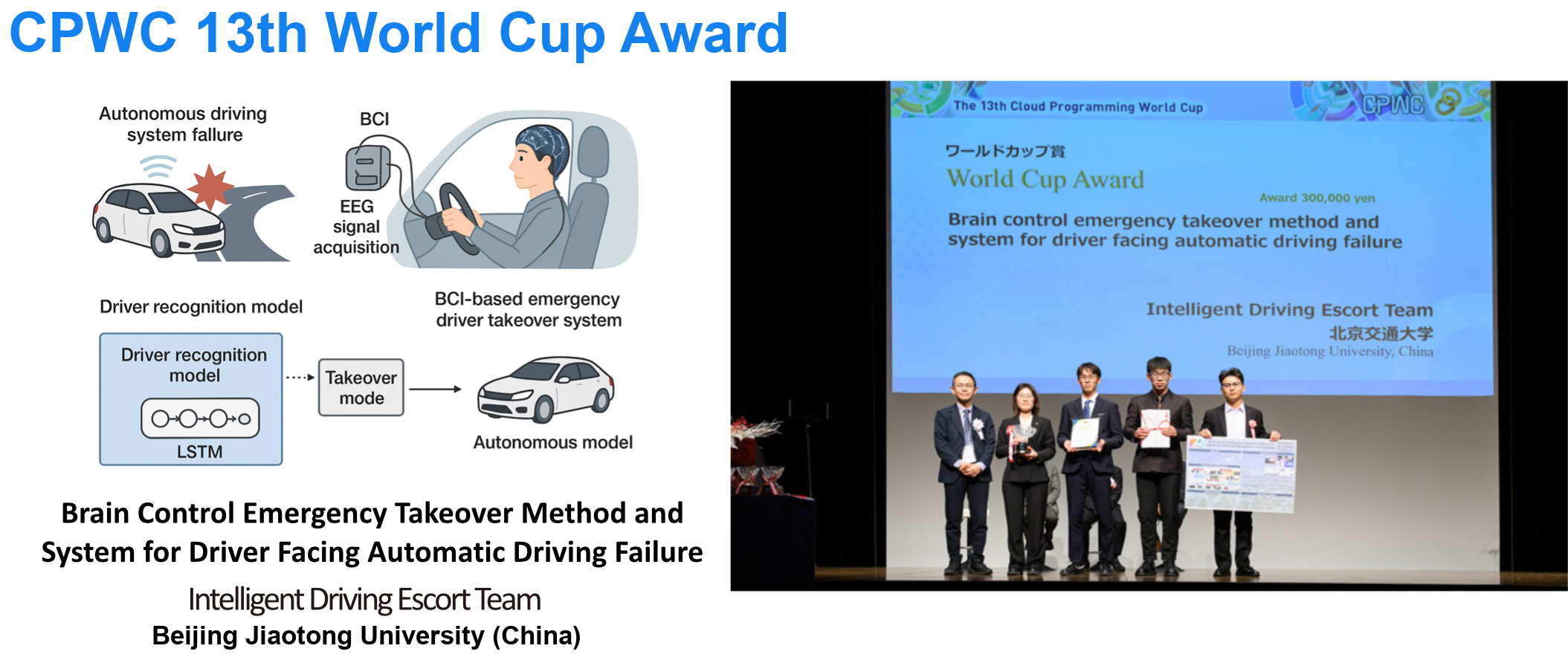
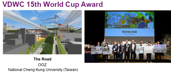
 The 14th Student Cloud Programming World Cup CPWC
The 14th CPWC is a competition for programming skills to develop cloud application using development kit, and The 16th VDWC is a cloud-based competition for cutting-edge architectural and civil engineering designs.
Numerous works have been submitted from Japan and abroad. Each team will present their work at the final public judging.

-The 27th UC-win/Road Conference-FORUM8, Executive Officer System Sales Manager
MATSUDA Katsumi
Space development and urban planning are now increasingly linked by the same technological foundations. This presentation will introduce a concept of using digital twins to conduct preliminary studies, leveraging the "spaceF8" space satellite solution. We will explore the possibilities of planning and constructing lunar bases, as well as remotely operating and training without physical prototypes. This approach also applies to urban disaster preparedness, and we will propose examples involving urban operations and monitoring using satellite positioning (GNSS) and observational data, flood and earthquake simulations, and verification of evacuation plans using the 3D city model "PLATEAU," incorporating real-time VR "UC-win/Road," the metaverse "F8VPS," and the data integration platform "ForumSync."
FORUM8 Shade3D development group
MIKURIYA Keisuke
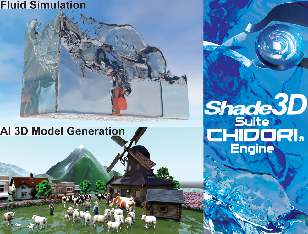
The latest version, Ver.27, includes new features designed to powerfully support content creation. We will introduce these features through demonstrations, including an AI model generation system that allows you to easily create assets based on prompts, a fluid simulation system that uses physics calculations for realistic results, input/output and editing functions for high-quality spatial data based on scanning technology called "3D Gaussian Splatting," parametric generation and editing of flexible structure gates, and other features currently under development, along with future prospects. We will also provide the latest information about the Japanese game engine, "Suite Chidori Engine."
 The 12th Junior Software Seminar Award Ceremony
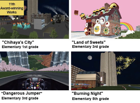
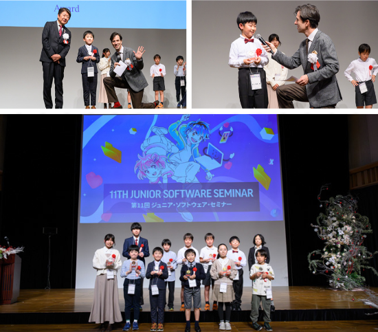
The "Junior Software Seminar," held during winter, spring, and summer breaks for elementary and junior high school students, connects the Tokyo headquarters with nine seminar rooms across Japan via video conference. This event will showcase and award VR works created by the students during the seminar.
Venue: Foyer
On the evening of Day 2, we will be hosting a special networking event with a space theme. We've prepared some fun surprises to create a slightly different atmosphere and let you experience the feeling of being in space. Please join us for a relaxed evening where you can eat, drink, talk, and interact with each other while enjoying the Design Festival. Let's take a break from complex discussions about space, and tonight, let's raise a toast to feeling just a little bit further away from Earth.
We invite you to participate in "FORUM8 SPACE NIGHT," a one-night-only event.
* Participation in the party is open to users or by invitation from a sales representative.